For Optimal and Targeted Mining Exploration, Supported by Advanced Technologies
Let us help you evaluate your exploration permits. From initial geological mapping and geophysical, geochemical studies to remote sensing, all the way to the financial assessment of your mining project, Minexpert will accompany you at every stage of your journey.
We offer the following studies either individually or as a comprehensive package, tailored to meet your specific needs.

Geographic Location, Topography, and Climatic and Hydrological Context of Your Mining Permits
Let us help you evaluate your exploration permits. From initial geological mapping and geophysical, geochemical studies to remote sensing, all the way to the financial assessment of your mining project, Minexpert will accompany you at every stage of your journey.
We offer the following studies either individually or as a comprehensive package, tailored to meet your specific needs.

Geological and Mineralization Context of Your Mining Permits
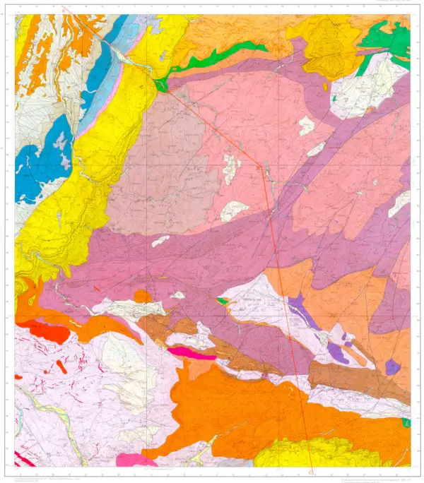
Using geological maps of Morocco, your mining permits are positioned within their global and regional geological context. This includes a detailed description of the geological, structural, and mineralization formations in relation to known mineral occurrences documented by geological services and literature.
This information is essential for guiding your exploration efforts. Geological maps provide critical details on surface geological layers, such as their lithology, ages (stratigraphy), structural positions (tectonics), and the locations of both active and historical mines, as well as potential mineralization indicators.

Description of Geophysical Anomalies
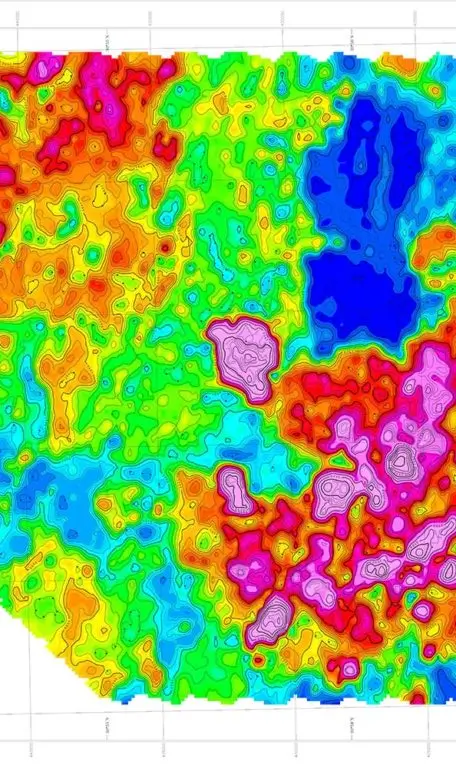
Geophysics is widely used as a direct detection tool for mineral deposits in mining exploration. The contrast between the specific physical properties of metallic deposits and the surrounding host rock creates “anomalies” that can be detected either on the ground or through airborne surveys. This applies to contrasts in magnetic susceptibility, density, electrical conductivity, and natural radioactivity (Thorium, Uranium, and Potassium).
Minexpert correlates these geophysical anomalies with the geological formations within your mining permits. We can provide both qualitative and quantitative insights (if data is available) into the regional or local geological models that may contain economically viable mineralization.

Remote Sensing and Digital Processing of Satellite Images
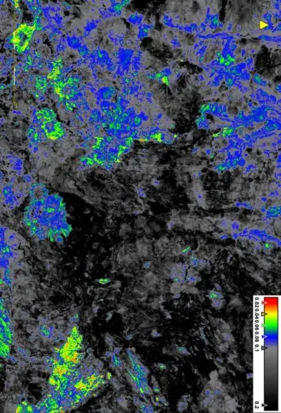
Satellite Earth observation provides an integrated view of mining sites and their surroundings. Using large-area satellite images, Minexpert can extract geological and mineralogical information through digital processing, offering a broad overview that correlates with geophysical data. This enables the creation of mineral, chemical, and hydrothermal alteration maps that help identify outcrops (within exploration permits) and guide mining prospecting to detect areas with potentially valuable mineral concentrations. This approach supports informed decisions about field sampling locations and significantly reduces the economic risks during exploration phases or campaigns.

Get In Touch
I consent to the processing of personal data and agree with the privacy policy
